Surveying and preparation of
Plans for Legal purposes such
as preparation of deeds, registration
of title plans, acquisition etc.
Surveys undertaken for any extent
small or large
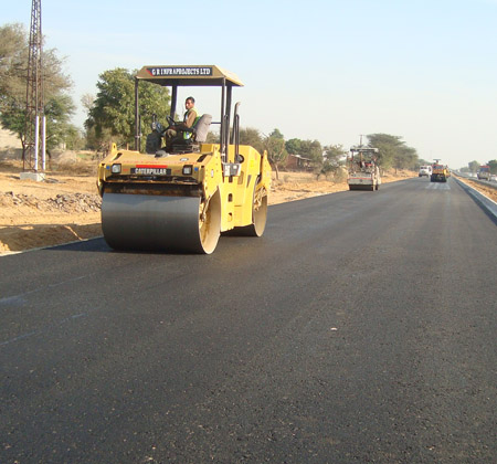
Road Survey
Preparation of Strip Plans for Road Acquisition Surveys adhering to Land Acquisition Act. Setting out New Roads. Widening and improvement of
Existing Roads.
Condominium Survey
Surveys for existing condominium properties of small and large projects, Provisional condominium plans solely on plans approved by the Local Authority of the area, Plans of semi condominium properties, the buildings of which are partly completed.
Construction Survey
Construction surveys will be done for Construction Projects for the vertical and horizontal control and provide levels to the Project Engineer and all detail required by the client will be surveyed and included in our plans.
Engineering Survey
Surveys for preparation of plans for
various Engineering Projects such
as irrigation, building sites,
oil tank
farms etc.These plans will show
details on ground, heights and
contours and all other details of
the site.
Hydrographic Survey
Hydrographic surveys will be done
on water bodies to determine
the shape and levels of the earth
under the water body. Contour
maps will be prepared. These will
be useful for dredging soil erosion
studies and under water constructions.
Drone Survey
Carrying out Aerial surveying and geo-mapping with an UAV where we can generate data for orthophotos, 3D models, and point clouds in high density with great accuracy.
Power Line Survey
Surveys for setting out, Power
lines, Detail Surveys for Pylons
and Angle points and positioning
of pylon sites and angle point
sites. Surveys will include Detail,
Cross Sections and Longitudinal
Sections.
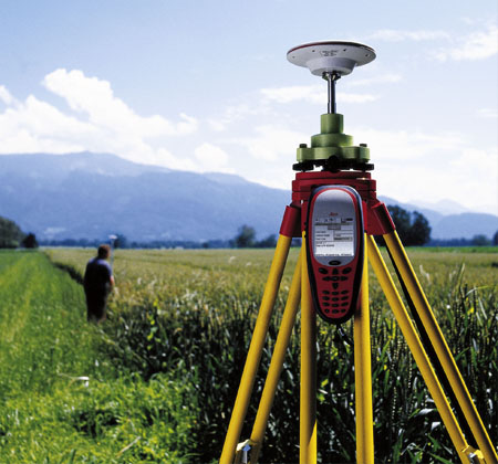
GPS Survey
The Global Positioning System
(GPS) is just another surveying tool
where surveyors can go beyond
their limitations whether day or
night for intervisibility, accuracy,
time, weather or line
Warehouse & Vehicle Capacity Survey
To measure the capacity of warehouses,
Lorries, Trailers, etc. and
issue of Certificates regarding carrying
capacity. execute the project
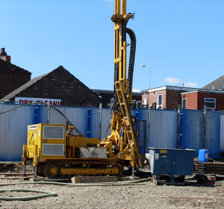
Geotechnical Survey
is the first step in the construction or consolidation of a site. It includes information about soil consistency and structure, groundwater level and recommendations for the technical project.
Topographic Survey
Creating Plans
for large areas of land to depict all
existing features on ground such
as large trees, tree canopies,
roads, streets, buildings
etc with heights and
contours of the terrain. Heights can be referred to
an arbitrary datum or Mean Sea
Level.
Stockpile Survey
Surveys will be done to determine
volumes of large stocks of sand,
metal, coal, and other material of
similar type. Certificate and plan will be provided.
Deformation Survey
Surveys which are carried out to
determine the deformations in
buildings and other large constructions
particularly for loss in verticality
and shape due to artificial and
natural causes. Plans showing
deformations will be supplied.
Quantity Survey
Covers
a wide range of activities including
cost estimation, cost planning
(civil, electrical, air conditioning,
interior, landscaping), value engineering,
feasibility studies, cost
benefit analysis, lifecycle costing
and valuations.